Shira Route overview
The Shira Route is one of the more unique and scenic trails on Mount Kilimanjaro, offering a quieter and less-trodden path to the summit. At Kilimap Adventures, we recommend this route for trekkers looking for a remote and panoramic experience. Originally a route for more experienced climbers, the trail has evolved to accommodate trekkers seeking both beauty and challenge. It is typically completed in 6 or 7 days, with the longer itinerary offering improved acclimatization and a higher chance of summit success.
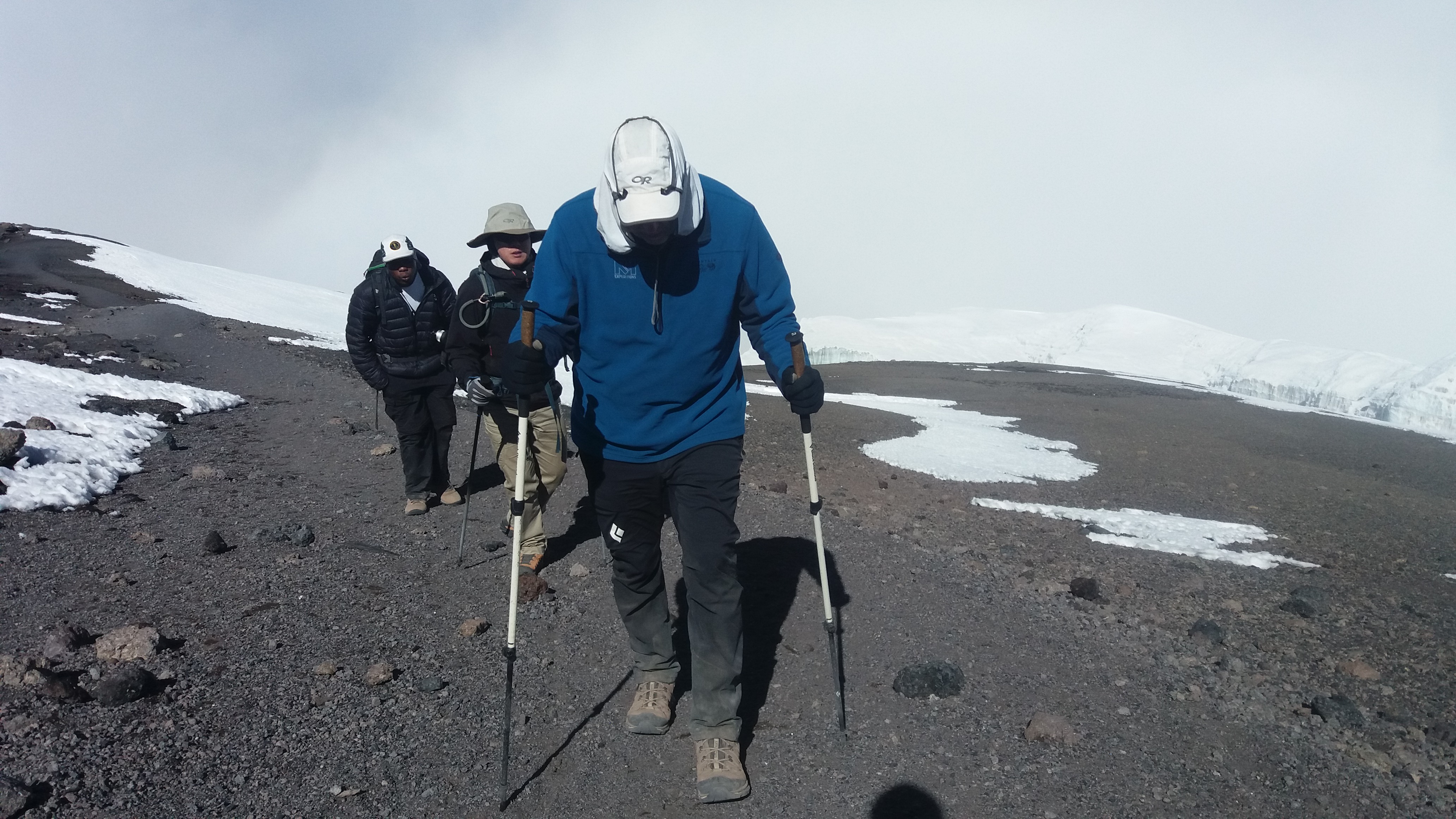
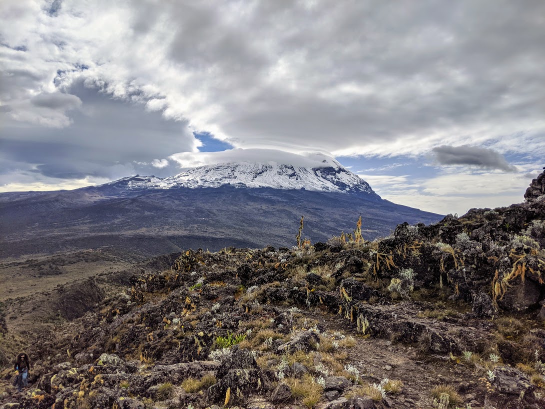
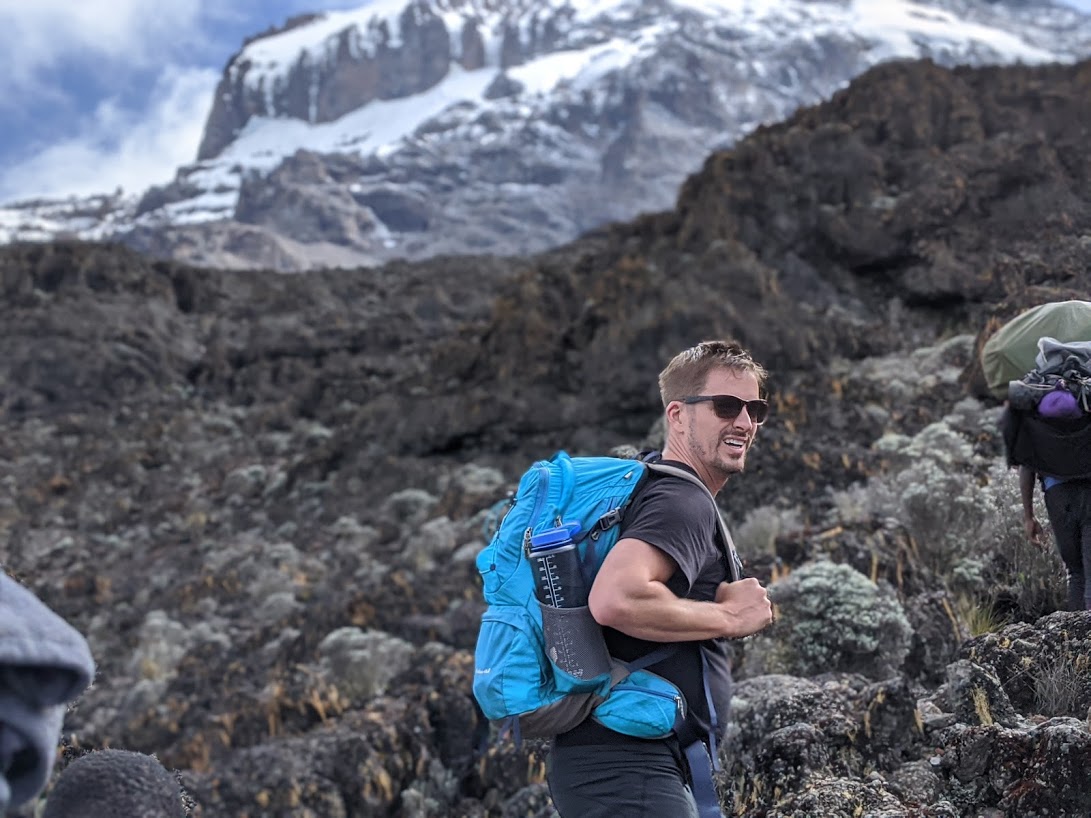
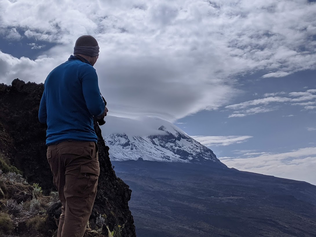
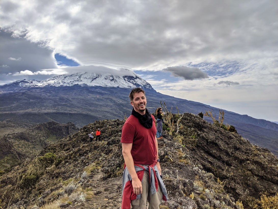
The trail begins with a drive to the Shira Gate, located on the Shira Plateau at a higher elevation than most other starting points. This allows climbers to immediately enter the moorland zone, skipping the dense rainforest seen on other routes. Despite this, the trail still offers access to Kilimanjaro’s five diverse climatic zones, from alpine heath to arctic summit conditions. Along the way, trekkers enjoy expansive views of the Shira Plateau, cross volcanic ridges, and pass unique flora like the towering Dendrosenecio kilimanjari and giant lobelias.
One of the highlights of the route is the Shira Cathedral, a dramatic volcanic rock formation that provides breathtaking vistas across the plateau. Eventually, the route merges with the Lemosho and Machame trails near Lava Tower, continuing toward the summit via the Southern Circuit and Stella Point.
The name Shira refers to one of the three ancient volcanic cones that formed Mount Kilimanjaro, alongside Kibo and Mawenzi. Shira is the oldest of the trio and has since collapsed, creating the expansive plateau that now bears its name. This region holds historical and cultural significance to local communities and offers an extraordinary glimpse into the geological history of the mountain.
With its vast open landscapes, fewer crowds, and exceptional photo opportunities, the Shira Route is ideal for those looking for a more secluded, adventurous, and visually rewarding journey to Africa’s highest peak.
Map of Shira Route
success Rate Shira Route
Here are the summit success rates for our Shira Route expeditions:
- Shira 6-Day – Crater Rim: 90.2%, Uhuru Peak: 81.6%
- Shira 7-Day – Crater Rim: 95.2%, Uhuru Peak: 91.6%
Shira 8-Day – Crater Rim: 97.5%, Uhuru Peak: 95.7%
As you can see, the 8-day Shira itinerary offers the highest summit success rate, thanks to its extra acclimatization day and gradual ascent profile. The additional time on the mountain allows trekkers to adjust better to the altitude, significantly improving their chances of reaching both the crater rim and Uhuru Peak.
The Shira Route eventually merges with the Lemosho and Machame routes at Lava Tower on day three or four, and from there, all climbers ascend together via the Southern Circuit. This shared path to the summit includes iconic landmarks such as the Barranco Wall and Karanga Valley.
The Shira Route is ideal for those looking for a scenic and less-crowded path with excellent acclimatization opportunities. While it's best suited for trekkers with some prior hiking experience due to its high starting altitude, it remains a strong choice for those seeking a successful summit with fewer crowds and unmatched views across the Shira Plateau.
SHIRA ROUTE ITINERARIES
7 Day Shira Itinerary
Destination:Kilimanjaro via Shira Route
Major Attractions:Kilimanjaro, Africa’s highest mountain
Tour Guides Language: English
Starting Point: Moshi
Ending Point: Moshi
Route Accessibility: This route approaches the mountain from west through Shira ridge. Less people use the route since it doesn’t provide much acclimatization time. Descent is done through Mweka route
Additional info: Provide porters and cookers for guidance and assistance while on the mountain.
DAY 1:
Londorisi Gate to Shira Hut 1 (3610M)
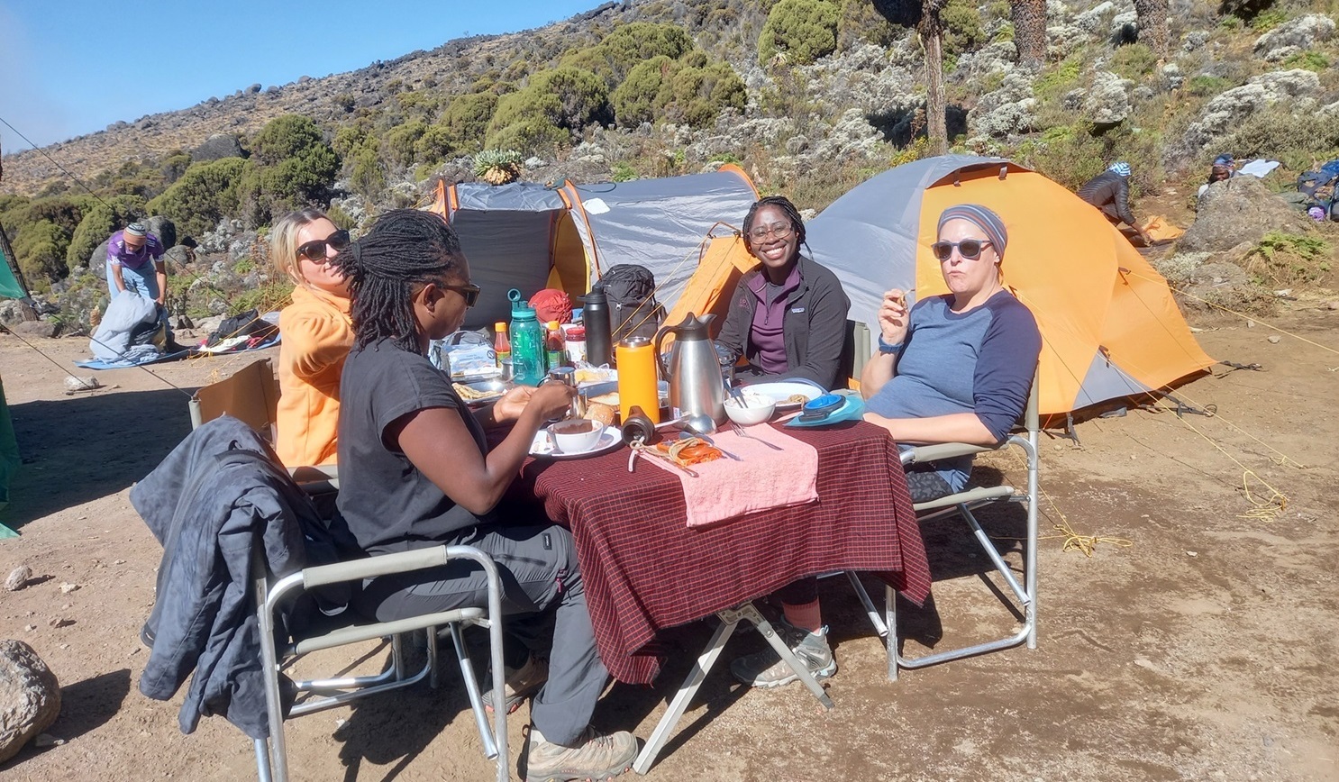
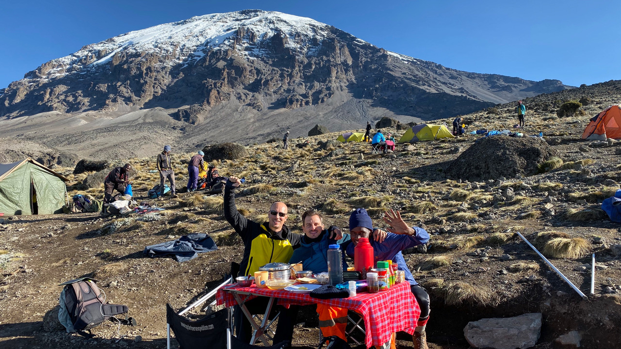
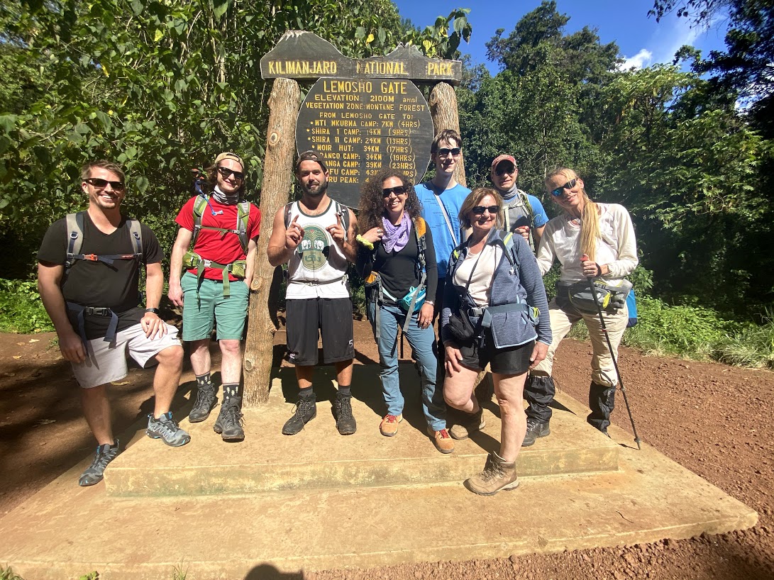
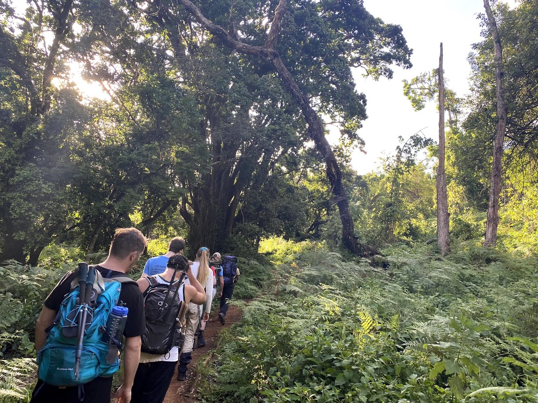
Transfer from your accommodation in Moshi and drive to Londorisi gate for registration processes and trekking preparations. After signing in the gate you are being taken by car until you reach starting point then you will start walking towards the Shira 1. Start hiking “pole pole” through shrubs and giant heather to arrive at Shira hut 1 in the evening and drink enough water. Dinner and overnight stay at the campsite.
Distance: 3 Kilometers.
Time: 2 Hours walking.
Zone: Moorland.
DAY 2:
Shira Hut 1 (3610M) to Shira Hut 2 (3850M)
Climb onto the moorland zone while approaching the volcanic rock formations on Shira plateau. The path passes through Shira cathedral 3872M for acclimatization which finally leads to Shira hut 2. Dinner and overnight stay at the campsite.
Distance: 10 Kilometers.
Time: 5 Hours walking.
Zone: Moorland.
DAY 3:
Shira Hut 2 (3850M) to Lava Tower (4600M) to Baranco Hut (3900M)
Start by ascending towards Lava tower which provides an extra day for acclimatization. Have some rest and time for lunch while at the tower Descend down “pole pole” and proceed with the trail to reach at Baranco hut for an evening arrival. Dinner and overnight stay at the campsite.
Distance: 10 Kilometers.
Time: 7 Hours walking.
Zone: Moorland.
DAY 4:
Baranco Hut (3900M) to Karanga Hut (3995M)
Descend down to the base of baranco wall and proceed with passing through series of hills leading to Karanga valley. The trail reaches out to Karanga hut which is a shorter day for acclimatization. Dinner and sleep at the campsite.
Distance: 6 Kilometers.
Time: 4 Hours walking.
Zone: Alpine desert.
DAY 5:
Karanga Hut (3995M) to Barafu Hut (4673M)
Trek out the Karanga hut to the junction connecting with Mweka trail. Continue hiking to reach the final destination at Barafu hut. Take some rest of the evening off while preparing for the summit. Sleep as early as 07:00pm for the summit and have early dinner too.
Distance: 4 Kilometers.
Time: 3 Hours walking.
Zone: Alpine desert.
DAY 6:
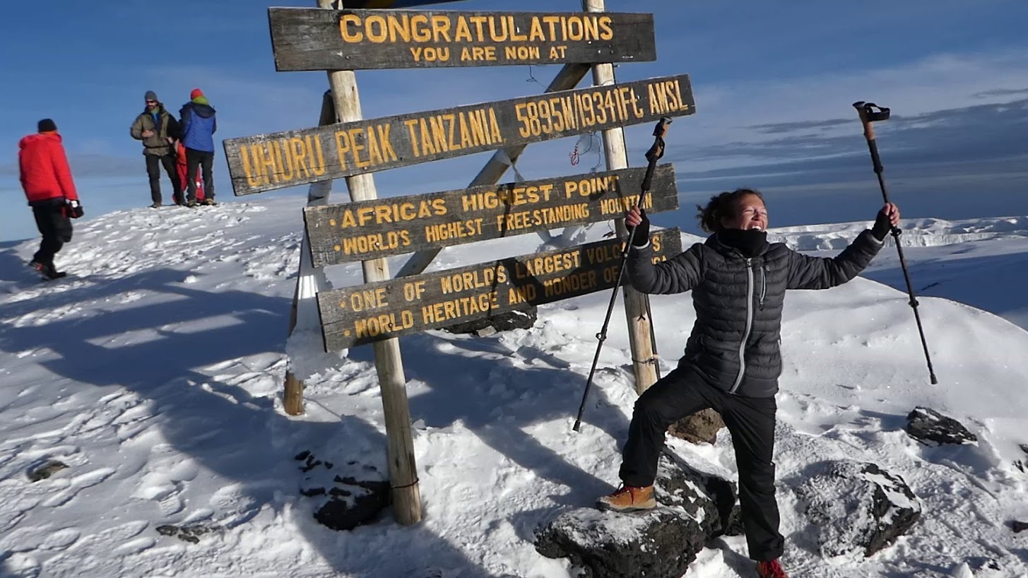
Ascend to Uhuru Peak (5895M)
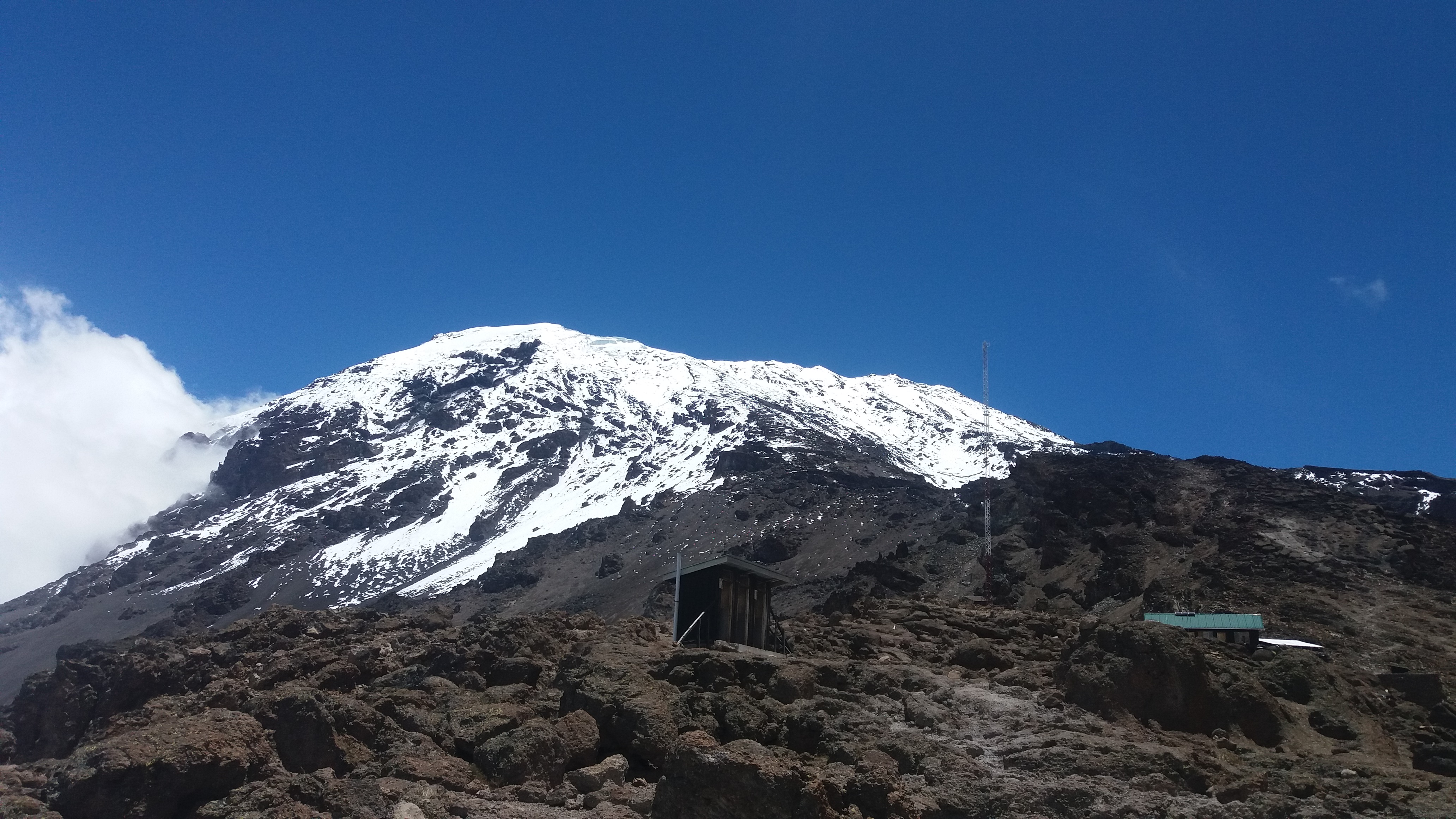
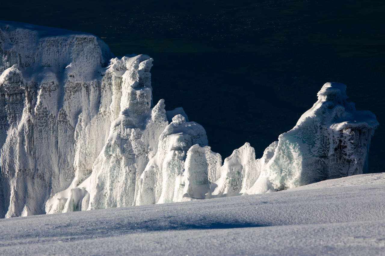
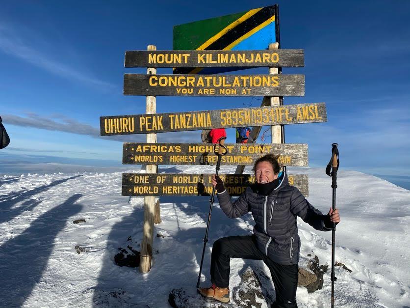
Wake up around 11:00pm for adding more warm clothes and head lamp. Leave the campsite and start summiting by midnight into the glacial zone. The path leads to Stella point 5756M, have time for pictures while take a short rest for hot tea or drinking water. However for those who interested can take a round trip along the crater rim to reach Uhuru Peak 5896M.For climbers who have experienced AMS are advised to start to descend. Proceed by descending from the summit “pole pole” for 3 hours till to the base camp again and have a short rest for 2 hours before lunch. Wake up after a short rest, have some brunch, start to repack all the staffs and start to descend down to Mweka hut.
Distance: 5 Kilometers.
Time: 6-7 Hours walking.
Zone: Alpine/Glacial zone.
DAY 7:
Mweka Hut (3100M) to Mweka Gate (1640M)
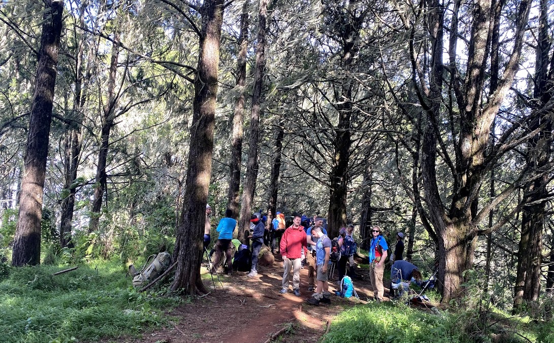
After a hot breakfast, continue hiking through the beautiful rain forest to arrive at Mweka gate. Get awarded with certificates whereby golden certificates are given to hikers who reached at Uhuru peak and green certificates for Stella point hikers. Retreat back to Mweka village for a drive to Moshitown for resting or airport for a flight back at home. “Normally tipping can be done to the last campsite or at the certain gate”.
Distance: 10 Kilometers.
Time: 3 Hours walking.
Zone: Rain forest.
PRICE PER PERSON
| NO OF PEOPLE | AMOUNT IN US DOLLAR |
|---|---|
| 1 Person | $2155 |
| 2-4 People | $2020 |
| 5-7 People | $1955 |
| 8-10 People | $1895 |
Tips on Mountain Kilimanjaro are recommended for group sharing as follows:
Guide $20/guide/day
Cook $15/day
Porters $10/porter/day
NOTE:Tipping is not included in the quoted price. “ Tips needs to be paid separately”
6 Day Shira Itinerary
Destination: Kilimanjaro via Machame Route
Major Attractions:Kilimanjaro, Africa’s highest mountain
Tour Guides Language: English
Starting Point: Moshi
Ending Point: Moshi
Route Accessibility: This route approaches the mountain from the south via Machame gate. The trail passes through the tropical rainforest to Shira plateau which finally leads to the summit.
Additional info: We provide porters and cooks for guidance and assistance while on the mountain.
DAY 1:
Londorisi Gate to Shira Hut 1 (3610M)
Transfer from your accommodation in Moshi and drive to Londorisi gate for registration processes and trekking preparations. After signing in the gate you are being taken by car until you reach starting point then you will start walking towards the Shira 1. Start hiking “pole pole” through shrubs and giant heather to arrive at Shira hut 1 in the evening and drink enough water. Dinner and overnight stay at the campsite.
Distance: 3 Kilometers.
Time: 2 Hours walking.
Zone: Moorland.
DAY 2:
Shira Hut 1 (3610M) to Shira Hut 2 (3850M)
Climb onto the moorland zone while approaching the volcanic rocks formations on Shira plateau. The path passes through shira cathedral 3872M for acclimatization which finally leads to Shira hut 2. And this is not must if you are not strong enough you can go direct to the campsite and after a short brake still you can have some time to take a short detour for an hour and back to the campsite. Dinner and overnight stay at the campsite.
Distance: 10 Kilometers.
Time: 5 Hours walking.
Zone: Moorland.
DAY 3:
Shira Hut 2 (3850M) to Lava Tower (4600M) to Baranco Hut (3900M)
Start by ascendingup towards Lava tower which provides an extra day for acclimatization. Have some rest and time for lunch while at the tower. Descend down “pole pole” and proceed with the trail to reach at baranco hut for an evening arrival. Dinner and overnight stay at the campsite.
Distance: 10 Kilometers.
Time: 7 Hours walking.
Zone: Moorland.
DAY 4:
Baranco Hut (3900M) Barafu Hut (4673M)
Descend down to the base of Baranco wall and proceed with passing through series of hills leading to Karanga valley. The trail reaches out to Karanga hut for the hot lunch and a short rest for 10 or 15 minutes just to have a good digestion. Start again after lunch “pole pole” to climb the Karanga clef while getting a good looking of the mountain to base camp of Barafu. Get the hot lunch at the camp and have a short rest while waiting for the dinner. After dinner overnight at the camp and sleep early for the summit preparations.
Distance: 10 Kilometers.
Time: 7 Hours walking.
Zone: Alpine desert.
DAY 5:
Ascend to Uhuru Peak (5895)
Wake up around 11:00pm for adding more warm clothes and head lamp. Leave the campsite and start summiting by midnight into the glacial zone. The path leads to Stella point 5756M, have time for pictures while take a short rest for hot tea or drinking water. However for those who interested can take a round trip along the crater rim to reach Uhuru Peak 5896M. For climbers who have experienced AMS are advised to start to descend down. Proceed by descending from the summit “pole pole” for 3 hours till to the base camp again and have a short rest for 2 hours before lunch. Wake up after a short rest, have some brunch, start to repack all your staffs and start to descend down at Mweka hut.
Distance: 5 Kilometers.
Time: 6-7 Hours walking.
Zone: Alpine/Glacial zone.
DAY 6:
Mweka Hut (3100M) to Mweka Gate (1640M)
After a hot breakfast, continue hiking through the beautiful rain forest to arrive at Mweka gate. Get awarded with certificates whereby golden certificates are given to hikers who reached Uhuru peak and green certificates for Stella point hikers. Retreat back to Mweka village for a drive to Moshitown for resting or airport for a flight back at home. “Normally tipping can be done to the last campsite or at the certain gate”.
Distance: 10 Kilometers.
Time: 3 Hours walking.
Zone: Rain forest.
PRICE PER PERSON
| NO OF PEOPLE | AMOUNT IN US DOLLAR |
|---|---|
| 1 Person | $2110 |
| 2-4 People | $1960 |
| 5-7 People | $1905 |
| 8-10 People | $1865 |
Tips on Mountain Kilimanjaro are recommended for group sharing as follows:
Guide $20/guide/day
Cook $15/day
Porters $10/porter/day
NOTE:Tipping is not included in the quoted price. “ Tips needs to be paid separately”